Mapping Scenarios for the Netherlands in 2050
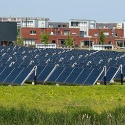
Maps are powerful tools to communicate and discuss the content of spatial scenarios with policymakers, planners and the public. Scenario projects become more accessible when visually presented by maps, thereby fostering greater understanding of the spatial features and differences. This, in turn, leads to more inclusive and well-informed discussions about possible futures and spatial choices. In 2023, PBL Netherlands Environmental Assessment Agency published a research study including four scenario maps showing what the Netherlands could look like in 2050. This article describes how the scenarios and associated maps were developed and reflects on the multiple functions the maps had in different phases of the scenario study.

Authors
Specifications
- Publication title
- Mapping Scenarios for the Netherlands in 2050
- Publication date
- 15 October 2025
- Publication type
- Article
- Page count
- 14
- Publication language
- English
- Magazine
- European Journal of Creative Practices in Cities and Landscapes (CPCL)
- Issue
- Vol. 7, No. 1, “Mapping Beyond the Monodisciplinary Approach: Exploring the Potential of Mapping in Comparative Research Methods“
- Product number
- 5390